15-Minute City Planning Frameworks and Real Examples
Paris spent €350 million to prove the 15-minute city works at scale.
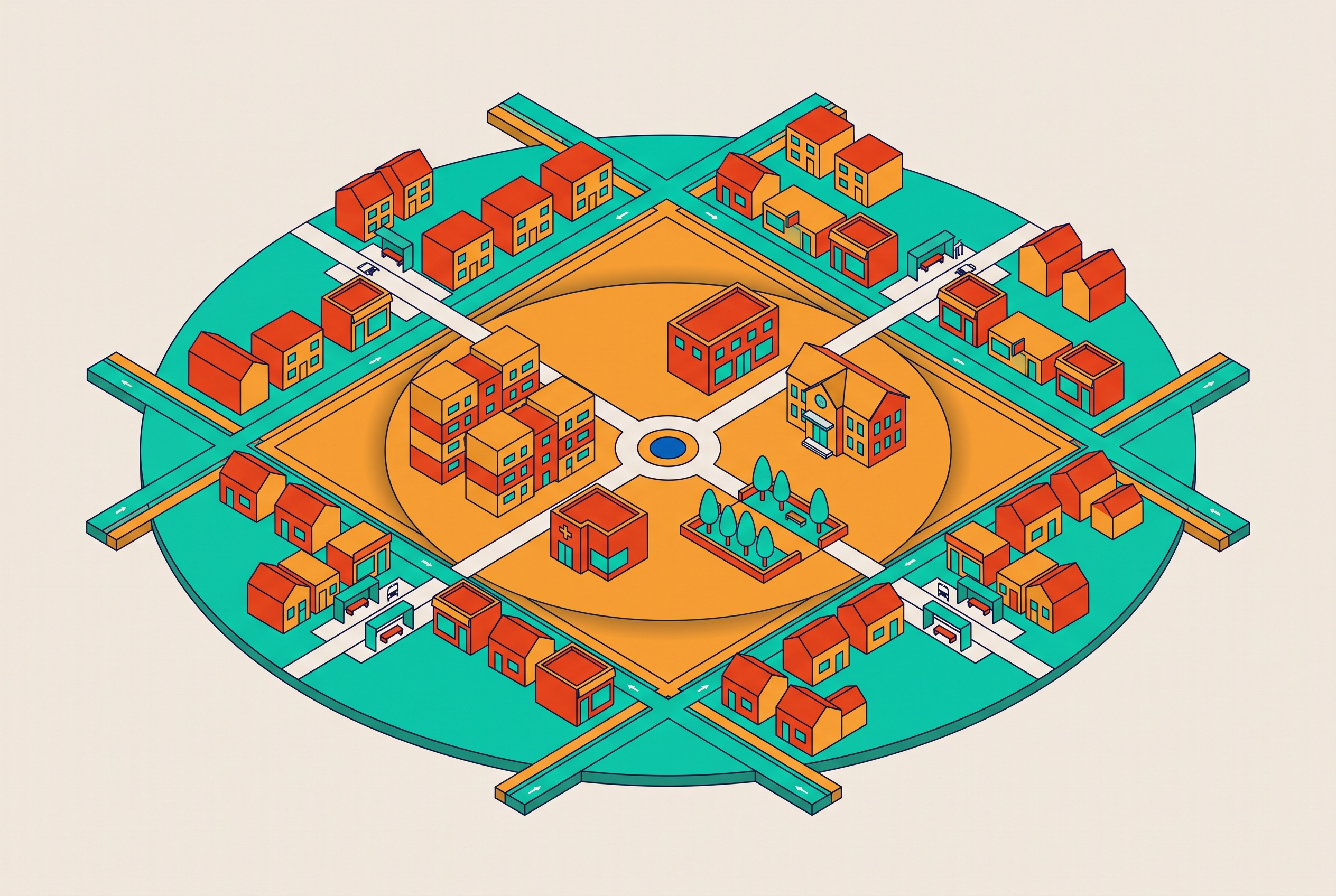
The 15-minute city is a concrete planning framework built around four specific design principles, proximity, density, mixed use, and active mobility, which together determine whether a neighborhood can meet residents' daily needs without requiring a car. The framework has moved from academic proposal to official urban policy across dozens of cities since 2019, with implementations ranging from Paris's EUR 350 million pedestrianization program to Singapore's two-tiered metropolitan and neighborhood targets. Each city that has adopted the framework has adapted it to its own density, governance structure, and baseline infrastructure, which means the case studies reveal both what the framework requires in practice and where its assumptions break down under different urban conditions.
The 15-minute city framework & its origins
The 15-minute city is a planning framework built on one idea: a neighborhood should contain everything residents actually need within a 15-minute walk or bike ride. Carlos Moreno gets credit as the coiner, working out of the University of Paris 1 Panthéon-Sorbonne as scientific director of its ETI Chair. The date is pinned at 2016, since that is what his own peer-reviewed paper in Smart Cities establishes geographie-cites.cnrs.fr.
The mechanism Moreno proposed underneath the slogan produces the actual substance of the concept: chrono-urbanism. He called it "nouveau chrono-urbanisme," new chrono-urbanism, and he borrowed the base term from French sociologist François Ascher, who coined chrono-urbanism back in 1997. The argument is that cities should organize themselves around time rather than distance, treating minutes of residents' lives as the scarce resource that planning should optimize for.
Moreno does not claim to have invented this out of thin air. He points to Jane Jacobs and her writing on streets as living social networks, and to Lewis Mumford's work tying urbanism to the rhythm of time. The 15-minute city, by his own account, is a synthesis of older ideas rather than something built from scratch.
The framework holds that residents should be able to fulfil all essential urban social functions within a 15-minute walk or bike ride from home. UN-Habitat has since backed the concept as a critical strategy for sustainable urban regeneration, which moves it from academic discussion into actual policy conversations at the institutional level. Moreno himself has been careful to qualify the number: "The question is not 15, 10, 20 minutes. The question is how to offer a happy, polycentric proximity adapted to the local conditions." That position explains why every city profiled below has chosen a different time target without technically contradicting the framework.
The four design principles that define the framework in practice
Strip away the branding and you get four principles, laid out by PTV Group in 2025: ubiquity, proximity, diversity, density. Each one does a specific job, and none of them are interchangeable synonyms for "walkable."
Ubiquity means access has to be equal across a city's population, not just adequate on average. Proximity is the more literal piece: schools, clinics, shops, and parks must be physically near where people actually live. Diversity means a neighborhood supports multiple functions simultaneously — living, working, shopping, and socializing all present within the same few blocks. Single-use zoning, which separates housing from retail and employment across large distances, is the direct enemy of this principle. Density is the enabling condition: compact building forms and mixed-use buildings create enough residents per block to make a corner store or a pharmacy financially viable.
Walking is the foundation of the system because it is the one mode available to almost everyone regardless of income or physical ability. Cycling extends the accessible radius further, and transit extends it further still. Paris provides the clearest geometric illustration: a 5-minute walk covers a quarter-mile radius, a 15-minute walk covers three-quarters of a mile, and a 15-minute bike ride covers roughly 3 miles. These three nested rings each serve a different category of trip.
Proponents of the framework argue it can be applied in both retrofitted older cities and purpose-built new developments, across small towns and large metropolitan areas. The case studies that follow are where that claim gets tested against actual implementation conditions.
The extent of city adoption of this framework
A mapping report titled Mapping of 15-minute City Practices (April 2024) examined 94 cities worldwide, including 58 in Europe, and identified 414 distinct practices tied to the framework Mapping the Implementation Practices of the 15-Minute City - Géographie-cités Mapping the Implementation Practices of the 15-Minute City - Géographie-cités.
Those practices sort into four categories: sustainable urban mobility, people-centered urban spaces, smart urban logistics, and urban governance. Three of the four categories have nothing to do with transportation, which means the framework is not simply a bike-lane program operating under a different name. Mayors of Paris, Milan, New York, Singapore, and Bogotá have all engaged with the concept through governance and assessment frameworks.
A Karlsruhe Institute of Technology research project is comparing implementation conditions across five European cities: Rome, Karlsruhe itself, Izmir, Lyon, and Thurgau, with the shared research question being what preconditions are required to build a functioning 15-minute city in each context.
Adoption has outrun the academic literature attempting to study it. A 2025 paper flagged this directly as a knowledge gap requiring new research methods just to keep pace with what cities are already doing on the ground.
The breadth of adoption matters because polycentric European capitals, sprawling North American cities, and dense Asian city-states are all arriving at the same framework from very different starting points and adapting it in different ways. That variation is where the real story of implementation lies.
Paris: what building the flagship implementation required
Paris adopted the 15-minute city model formally in 2019 under Mayor Anne Hidalgo, becoming the first city to fold it into official urban policy, with Moreno advising directly on the strategy.
EUR 350 million went toward pedestrianization, with a commitment to a cycle lane on every street in the region by 2024, and roughly 60,000 parking spaces for private cars removed entirely ube.ac.uk. The stated target attached to those investments is to cut private car use by half while the cycling network continues expanding ube.ac.uk. These are structural changes to street-level priority, not pilot programs.
The Minimes barracks site is the clearest on-the-ground example of how the framework operates in Paris. A parking lot was replaced with a public garden, and surrounding buildings were renovated into 70 public housing apartments at a cost of EUR 12.3 million, alongside offices, day care, a clinic, and a café staffed by people with autism. The project combined housing, employment, and care services on a single former parking lot, which illustrates how Paris has treated the 15-minute city primarily as a social equity project and secondarily as a mobility project.
UN-Habitat has since pointed to Paris specifically as a template for other cities to study. Research published in Nature Cities finds that in Milan, which is named alongside Paris as a benchmark city, residents can expect a journey of under 10 minutes to access their daily needs across the majority of the city.
Barcelona's superblock model: the mechanics of reclaiming street space
Barcelona adopted a distinct tool: the superblock, or superilla. Each superblock covers a 400-by-400-meter grid, larger than a single block but smaller than a full neighborhood. Through-traffic is redirected to perimeter roads, and the interior streets are returned to pedestrians, cyclists, and planted greenery geographie-cites.cnrs.fr.
The stated goals extend beyond traffic reduction to include recovering community space, improving urban biodiversity, shifting travel habits, and building social cohesion geographie-cites.cnrs.fr. As of 2024, six new superblocks had been completed over the previous five years, with a target of 21 by 2030, and the city's 2024 Urban Mobility Plan sets a long-term vision of 503 superblocks citywide geographie-cites.cnrs.fr ube.ac.uk.
Additional targets include 21 new green streets and 21 new squares by 2030, a guarantee that every resident lives within 200 meters of a green street or square, 33 hectares of new pedestrian space, and approximately 6.6 hectares of added greenery geographie-cites.cnrs.fr sciencedirect.com.
Researcher Mark Nieuwenhuijsen assessed the model positively but identified a critical vulnerability: "The superblock model is quite unique and seems to be working, but urban models are subject to political decisions and the change of government in Barcelona has stopped this model." Barcelona's 2024 Urban Mobility Plan also added 32km of pedestrian-only streets, expanded the bike network by 40%, introduced 30km/hr speed limits on roads with three or more lanes, and comprised 300 specific measures in total mdpi.com ube.ac.uk.
Portland & Melbourne's adaptation of proximity planning to different scales & starting points
Portland developed its 20-minute neighborhood initiative inside the Portland Plan before Moreno had coined his term, which suggests the underlying idea was independently developed by a city responding to its own conditions rather than imported from European planning theory.
By 2016, 65% of Portlanders already lived inside a qualifying 20-minute neighborhood, with the city targeting 80% by 2035 tandfonline.com. That nearly two-decade timeline reflects the actual planning horizon this kind of structural change requires. Portland also built an anti-displacement action plan directly into the initiative, developed with residents rather than imposed on them, treating equity as a core design requirement rather than a secondary consideration.
Melbourne adopted a tighter time target: a 10-minute walking radius, approximately half a mile, under the Plan Melbourne 2017–2050 framework for what it calls "living locally" ube.ac.uk. The plan explicitly states that 20-minute neighborhoods, a related but distinct target within the same document, require long-term commitment and flexibility, acknowledging from the outset that full implementation will extend well beyond a single electoral cycle ube.ac.uk.
Moreno's position is that the specific time target matters less than the underlying principle of accessible, walkable proximity, a view that both Portland and Melbourne's choices support in practice.
Singapore, Ottawa, Cleveland, & The Line: four implementations at the edges of the framework
Singapore operates two tiers simultaneously. Its Land Transport Authority set a 45-minute target at the metropolitan scale and a 20-minute target within individual towns, back in 2019. A dense city-state with limited land area requires distinct targets for different scales of trip, so Singapore built a nested system rather than applying a single number across all journey types.
Ottawa translated the framework into local planning language. Senior planner Inge Roosendaal describes the city's approach through five Cs: compact, connected, convivial, complete, and cool. When "15-minute neighborhood" proved to resonate more effectively with residents and stakeholders, the city adopted that label in place of the five-Cs framing.
Cleveland is applying the framework in a structurally different context from the European cities. It has been described as running the most integrated, government-led effort in the United States to apply 15-minute-city principles, doing so through the lens of post-industrial revitalization rather than climate retrofitting or congestion reduction.
The Line, the linear city under construction in Saudi Arabia, is planned to stretch 110 miles once finished sciencedirect.com. It is being framed as conforming to 15-minute city principles despite its unprecedented scale and architectural form sciencedirect.com. Whether that constitutes a genuine application of the framework or primarily a use of its branding is a question the existing literature does not resolve. These four cases together show the framework operating under real pressure, across different governmental structures, different baseline densities, and, in The Line's case, an entirely different urban typology.
What cities gain & who risks being left out
The environmental case for the framework is the most directly measurable. Paris, Barcelona, and Lisbon all show documented reductions in car dependency, emissions, and air pollution attributable to 15-minute city policies.
The health case follows closely. Active mobility reduces the risk of lifestyle-related disease, and shorter commutes reduce chronic stress. Research from the TUC found the average commuter spends 59 minutes per day traveling to and from work, and 70% of commuters outside large cities make that journey by car ube.ac.uk. Walkable neighborhoods also generate the kind of incidental social interaction that research associates with stronger community ties, and local businesses benefit from sustained foot traffic and neighborhood-level purchasing patterns.
Rising property values are a predictable consequence of newly desirable neighborhoods, and that dynamic tends to displace the lower-income residents and small businesses whose presence helped create the neighborhood's character and functionality. Portland's anti-displacement plan, built into the initiative from the beginning, demonstrates that this risk is manageable when it is anticipated and designed for rather than addressed after displacement has already occurred.
Cities in the Global South face a more structurally difficult version of the same problem geographie-cites.cnrs.fr. Urban informality, gaps in basic infrastructure, and fragmented governance structures all make equitable rollout harder in resource-constrained cities geographie-cites.cnrs.fr. A 2025 review covering 33 papers published between 2019 and 2024 treats these as structural barriers distinct from the political and funding challenges that higher-income cities face geographie-cites.cnrs.fr. Additionally, the framework has been mischaracterized in several contexts as authoritarian or as a mechanism for restricting movement, a political vulnerability that has already affected adoption decisions in some cities.
Measurement of whether the framework is working, by researchers & cities
There is no single agreed-upon method for measuring 15-minute city outcomes. A systematic review published in June 2025 in Transport Reviews analyzed 39 peer-reviewed articles on how researchers define and apply 15-minute city metrics and found six separate categories of metric in active use: amenity-based, population-based, distance-based, gravity-based, behavior-based, and weighted scores. No city or research group has established one of these as a standard geographie-cites.cnrs.fr.
Most practical measurement work relies on GIS-based spatial analysis, starting from population grids, census blocks, or postal codes and building proximity maps from that data. The 15min City Score Toolkit, released in 2024, is one open tool operating on this approach. It uses OpenStreetMap data, applies Uber's Hexagonal Hierarchical Spatial Index to divide geographic space into comparable units, and generates standardized isochrones through a Python notebook and a QGIS script. The toolkit has been tested across more than 112 European cities of varying sizes, making it the most broadly validated open tool currently available.
MIT's Senseable City Lab took a different approach in a 2024 paper published in Nature Human Behaviour, using actual mobile phone data to measure where people travel rather than modeling where the built environment theoretically allows them to go. A September 2025 paper in Transportation Research Part A built an assessment framework spanning 35 cities worldwide, analyzing how urban form indicators connect to actual 15-minute outcomes. It is currently the most recent cross-city comparison on record.
One fundamental measurement problem remains unresolved across all of these approaches. A city can score well on every proximity metric and its residents may still not walk or bike to nearby destinations. Counting the presence of amenities within a given radius is technically straightforward. Measuring whether residents actually change their travel behavior in response to those amenities is a harder problem that the field has not yet solved.
The framework's limits of applicability
Across Paris, Barcelona, Portland, Melbourne, Singapore, Ottawa, and Cleveland, one pattern holds: proximity, density, mixed use, and active mobility remain constant as core principles, while the specific time target and implementation tools vary with local context. The 15-minute figure was never the structural foundation of the framework.
Moreno stated this directly, and the case studies confirm it: the number functions as a communication device, and the substantive requirement is polycentric proximity designed for the specific conditions of the city being planned.
The implementations with the strongest track records share three characteristics: multi-decade planning horizons (Melbourne 2050, Portland 2035), equity mechanisms integrated from the design stage rather than added afterward (Portland's anti-displacement plan), and sufficient political durability to survive changes in government ube.ac.uk. Barcelona's paused superblock rollout illustrates what the absence of that third characteristic looks like in practice.
The Global South challenge is structural rather than a matter of degree geographie-cites.cnrs.fr. The framework depends on conditions — legible property records, functioning transit networks, and enforceable zoning — that do not hold in many resource-constrained cities. Developing a locally adaptive version of the framework for those contexts is an active research problem, not a solved one.
The measurement gap tracks the implementation gap closely. Cities that have invested in GIS-based spatial analysis and mobility data infrastructure are better positioned to identify what is working and adjust accordingly. Cities without that infrastructure are making the same planning bets without the instruments to evaluate whether those bets are paying off.